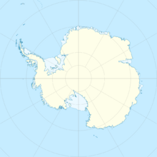
Earth:American Highland
From HandWiki
Short description: Plateau in Antarctica
| American Highland | |
|---|---|
| Location | Antarctica |
| Coordinates | [ ⚑ ] 72°30′S 78°00′E / 72.5°S 78°E |
| Elevation | 2,800 metres (9,200 ft) |
| Geology | Plateau |
The American Highland is the portion of Antarctica back of the Ingrid Christensen Coast and eastward of Lambert Glacier, consisting of an upland snow surface at 2,800 metres (9,200 ft) except for a group of nunataks (the Grove Mountains) near 75°E. The area was discovered and named by Lincoln Ellsworth on January 11, 1939, in an aerial flight from his ship, and by Australian National Antarctic Research Expeditions (1956 and 1957), the latter group making a landing to obtain an astrofix at Grove Mountains, 1958.
References
 This article incorporates public domain material from the United States Geological Survey document "American Highland" (content from the Geographic Names Information System).
 |


