File:Sir John Cass's Foundation Primary School (cropped).jpg
From HandWiki
Size of this preview: 800 × 600 pixels. Other resolutions: 640 × 480 pixels | 883 × 662 pixels.
Original file (883 × 662 pixels, file size: 249 KB, MIME type: image/jpeg)
Summary
| Description |
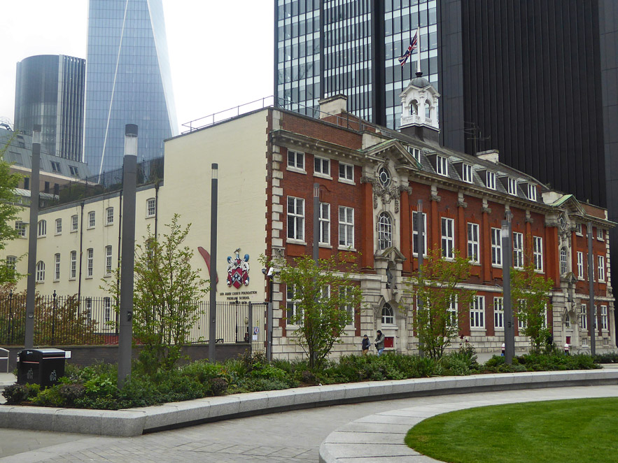
English: Sir John Cass's Foundation Primary School |
| Date | |
| Source |
This file was derived from: Sir John Casss Foundation Primary School (geograph 6116292).jpg |
| Author | Robin Webster |
| Permission (Reusing this file) |
Creative Commons Attribution Share-alike license 2.0 |
| Attribution (required by the license) | Robin Webster / Sir John Cass's Foundation Primary School / |
| Camera location | | View this and other nearby images on: OpenStreetMap |
|---|
| Object location | | View this and other nearby images on: OpenStreetMap |
|---|
.jpg)
Licensing
This file is licensed under the Creative Commons Attribution-Share Alike 2.0 Generic license.
Attribution: Robin Webster
- You are free:
- to share – to copy, distribute and transmit the work
- to remix – to adapt the work
- Under the following conditions:
- attribution – You must give appropriate credit, provide a link to the license, and indicate if changes were made. You may do so in any reasonable manner, but not in any way that suggests the licensor endorses you or your use.
- share alike – If you remix, transform, or build upon the material, you must distribute your contributions under the same or compatible license as the original.
File history
Click on a date/time to view the file as it appeared at that time.
| Date/Time | Thumbnail | Dimensions | User | Comment | |
|---|---|---|---|---|---|
| current | 04:15, 16 June 2020 | | 883 × 662 (249 KB) | imagescommonswiki>Ham II | File:Sir John Casss Foundation Primary School (geograph 6116292).jpg cropped 14 % horizontally, 14 % vertically using CropTool with lossless mode. |
File usage
The following file is a duplicate of this file (more details):
- File:Sir John Cass's Foundation Primary School (cropped).jpg from Wikimedia Commons
The following page uses this file:


.jpg)
.jpg&action=edit&redlink=1)
.jpg)
.jpg&action=mzwi)
.jpg¶ms=051.513774_N_-000.076588_E_globe:Earth_type:camera_source:geograph-osgb36(TQ3356481181)_heading:270.00&language=en)
.jpg¶ms=051.513780_N_-000.077510_E_globe:Earth_class:object_type:object_source:geograph-osgb36(TQ33508118)_heading:270.00&language=en)
.jpg)
.jpg)
.jpg)
.jpg)
.jpg&action=info)