File:Reconstructed Mesolithic round-house - geograph.org.uk - 1091110.jpg
From HandWiki
Size of this preview: 800 × 577 pixels. Other resolutions: 640 × 462 pixels | 2,220 × 1,602 pixels.
Original file (2,220 × 1,602 pixels, file size: 2.72 MB, MIME type: image/jpeg)
Summary
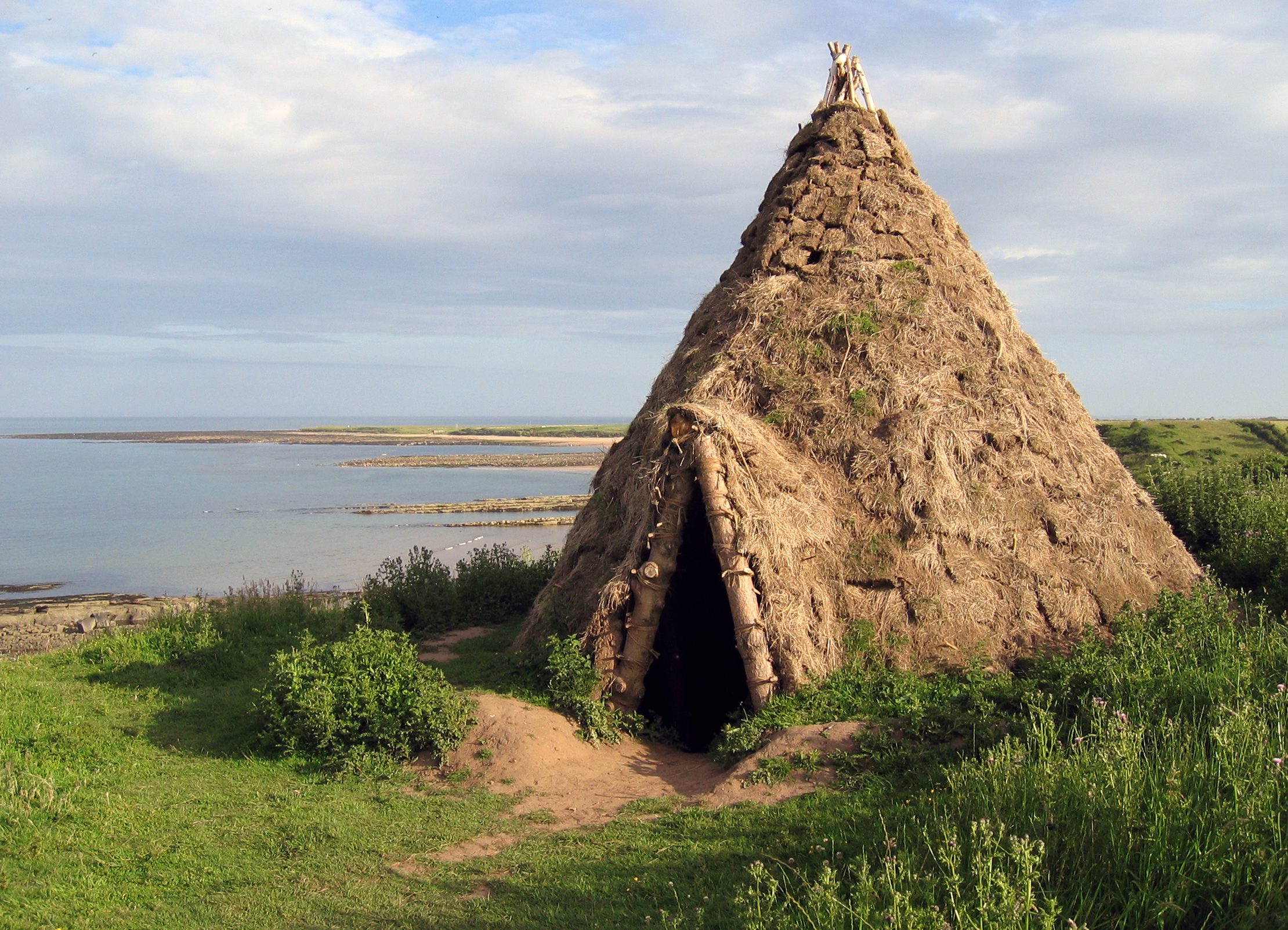
| Description |
English: Reconstructed Mesolithic round-house Replica of a 10,000 year old round-house which was excavated from a nearby cliff-top site which had been discovered by the identification of flint artifacts in the eroding cliffs by amateur archaeologists. |
| Date | |
| Source | From geograph.org.uk |
| Author | Andrew Curtis |
| Attribution (required by the license) | Andrew Curtis / Reconstructed Mesolithic round-house / |
| Camera location | | View this and other nearby images on: OpenStreetMap |
|---|
| Object location | | View this and other nearby images on: OpenStreetMap |
|---|
Licensing

|
This image was taken from the Geograph project collection. See this photograph's page on the Geograph website for the photographer's contact details. The copyright on this image is owned by Andrew Curtis and is licensed for reuse under the Creative Commons Attribution-ShareAlike 2.0 license.
|
This file is licensed under the Creative Commons Attribution-Share Alike 2.0 Generic license.
Attribution: Andrew Curtis
- You are free:
- to share – to copy, distribute and transmit the work
- to remix – to adapt the work
- Under the following conditions:
- attribution – You must give appropriate credit, provide a link to the license, and indicate if changes were made. You may do so in any reasonable manner, but not in any way that suggests the licensor endorses you or your use.
- share alike – If you remix, transform, or build upon the material, you must distribute your contributions under the same or compatible license as the original.
File history
Click on a date/time to view the file as it appeared at that time.
| Date/Time | Thumbnail | Dimensions | User | Comment | |
|---|---|---|---|---|---|
| current | 11:56, 19 May 2020 | | 2,220 × 1,602 (2.72 MB) | imagescommonswiki>Geograph Update Bot | Higher-resolution version from Geograph. |
File usage
The following file is a duplicate of this file (more details):
- File:Reconstructed Mesolithic round-house - geograph.org.uk - 1091110.jpg from Wikimedia Commons
The following page uses this file:


_heading:135.00&language=en)
_heading:135.00&language=en)