File:Uinta Basin map.png
From HandWiki
Size of this preview: 800 × 460 pixels. Other resolutions: 640 × 368 pixels | 976 × 561 pixels.
Original file (976 × 561 pixels, file size: 77 KB, MIME type: image/png)
Summary
| Description |
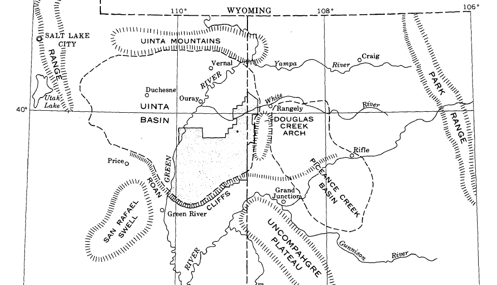
English: Uinta Basin map |
| Date | |
| Source | Geology and Fuel Resources of the Green River Formation Southeastern Uinta Basin Utah and Colorado, USGS Professional Paper 548 |
| Author | W.B. Cashion |
Licensing
This image is in the public domain in the United States because it only contains materials that originally came from the United States Geological Survey, an agency of the United States Department of the Interior. For more information, see the official USGS copyright policy.
|
File history
Click on a date/time to view the file as it appeared at that time.
| Date/Time | Thumbnail | Dimensions | User | Comment | |
|---|---|---|---|---|---|
| current | 12:47, 1 June 2017 | | 976 × 561 (77 KB) | imagescommonswiki>Pi3.124 | User created page with UploadWizard |
File usage
The following file is a duplicate of this file (more details):
- File:Uinta Basin map.png from Wikimedia Commons
The following 2 pages use this file:

