File:Singapore NLT Landsat7.png
From HandWiki
Size of this preview: 800 × 493 pixels. Other resolutions: 640 × 394 pixels | 2,510 × 1,546 pixels.
Original file (2,510 × 1,546 pixels, file size: 4.98 MB, MIME type: image/png)
| This image is in the public domain because it is a screenshot from NASA’s globe software World Wind using a public domain layer, such as Blue Marble, MODIS, Landsat, SRTM, USGS or GLOBE.
|
 |
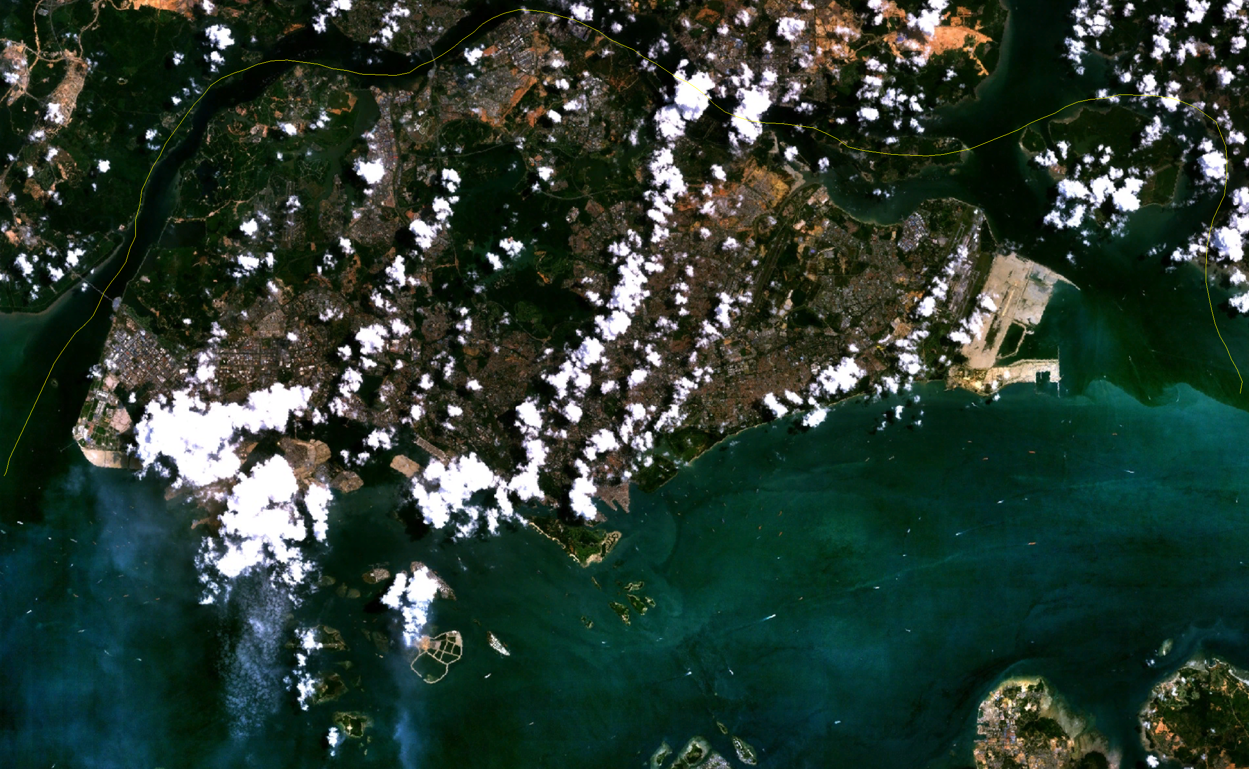
Satellite image of Singapore.
Screenshot from NASA World Wind, NLT Landsat7 layer.
File history
Click on a date/time to view the file as it appeared at that time.
| Date/Time | Thumbnail | Dimensions | User | Comment | |
|---|---|---|---|---|---|
| current | 17:55, 29 April 2006 | | 2,510 × 1,546 (4.98 MB) | imagescommonswiki>Hautala | {{PD-WorldWind}} Satellite image of Singapore. Screenshot from NASA World Wind, NLT Landsat7 layer. Category:Satellite images of countries |
File usage
The following file is a duplicate of this file (more details):
- File:Singapore NLT Landsat7.png from Wikimedia Commons
The following page uses this file:

