File:Epirus landsat.jpg
From HandWiki

Size of this preview: 800 × 600 pixels. Other resolutions: 640 × 480 pixels | 1,024 × 768 pixels.
Original file (1,024 × 768 pixels, file size: 469 KB, MIME type: image/jpeg)
Summary
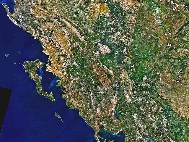
| Description |
English: Landsat 7 image of Epirus |
|||
| Date | ||||
| Source | Captured and cropped from NASA World Wind. | |||
| Author | NASA | |||
| Permission (Reusing this file) |
|

File history
Click on a date/time to view the file as it appeared at that time.
| Date/Time | Thumbnail | Dimensions | User | Comment | |
|---|---|---|---|---|---|
| current | 16:33, 17 September 2006 | | 1,024 × 768 (469 KB) | imagescommonswiki>ChrisO | Satellite image of Epirus, taken by NASA's Landsat 7 satellite. {{PD-WorldWind}} |
File usage
The following file is a duplicate of this file (more details):
- File:Epirus landsat.jpg from Wikimedia Commons
The following page uses this file:

